BUCKHOLLOW - REC SITE - BUCKHOLLOW - REC SITE - BOAT RAMP
Sherman County, Oregon
- Fee required
- BOAT RAMP - NATURAL
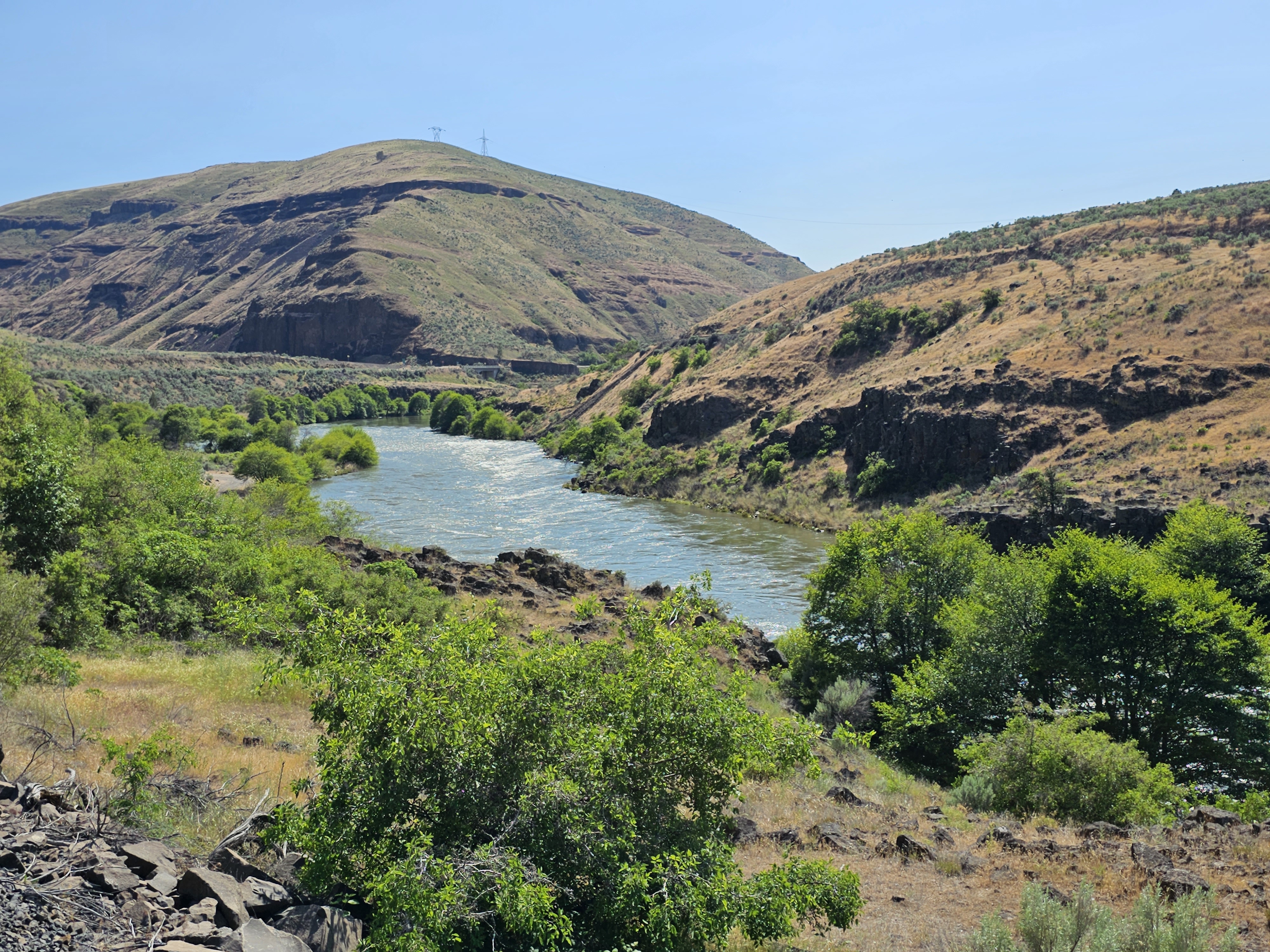
The furthest northern leg of the Lower Deschutes Back Country Byway gives way from asphalt to gravel and becomes a dead-end road beyond State Highway 216. Here, boaters on the Lower Deschutes Wild and Scenic River can access the river at the primitive boat ramp near mouth of Buck Hollow Canyon. Know Before You Go The narrow and rocky road accessing river is tightly wedged against the side hill. Turnaround space is limited, allowing for boats to be unloaded only. Vehicles and trailers must park up on the main Deschutes River Access Road. A short but steep access trail allows people to easily descend the hill from the upper parking area. A restroom and interpretive display offer information regarding day use areas and campgrounds on the lower Deschutes River. Campfires and smoking are allowed only from October 16 through May 31, annually, unless posted otherwise. Point of Interest North of Buckhollow Boat Ramp, the graveled Lower Deschutes River Back Country Byway traverses another 17 miles where it terminates at Macks Canyon Campground.
From Maupin, Oregon : Drive 8 miles north on the Deschutes River Access Road. Turn right onto State Highway 216 and proceed for 1/2 mile, turning left onto the gravel BLM Access Rd. Then travel another 0.4 miles; the boat ramp will be on your left.
No accessible facilities.
Details
| County | Sherman |
|---|---|
| Nearest community | Prineville |
| Address | Prineville District Office |
| Type | BOAT RAMP |
| Ramp surface | BOAT RAMP - NATURAL |
| Accessible (ADA) | No accessible facilities. |
| Launch fee | No fee to use the boat ramp. However, Boater Passes are required year-round, for both day and overnight use, for anyone using a watercraft or any other floating device as a means of transport on the Lower Deschutes River. |
| Reported condition | GOOD |
| Managed by | BUREAU OF LAND MANAGEMENT |
| Agency | BLM |
| Phone | 541-416-6700 |
Only fields the managing agency publishes are shown. A missing row means the agency does not record it, not that the feature is absent.
Directions to 45.26710, -121.01848 →
Nearest boat ramps
- Pine Tree Recreation Site2.2 mi
- Sandy Beach Recreation Site2.3 mi
- SANDY BEACH - REC SITE - SANDY BEACH - REC SITE - BOAT RAMP2.5 mi
- BEAVERTAIL - REC SITE - BEAVERTAIL - REC SITE - BOAT RAMP5.9 mi
- WAPINITIA - REC SITE - WAPINITIA - REC SITE - BOAT RAMP #19.9 mi
- Wapanitia Primitive North Launch9.9 mi
- HARPHAM FLAT - REC SITE - HARPHAM FLAT - REC SITE - BOAT RAMP10.3 mi
- Harpham Flat Boat Launch10.5 mi
Where this comes from
- FHWA - Federal Lands
- Bureau of Land Management
- U.S. Recreation Information Database (recreation.gov)
- OpenStreetMap contributors
Source record last updated .